
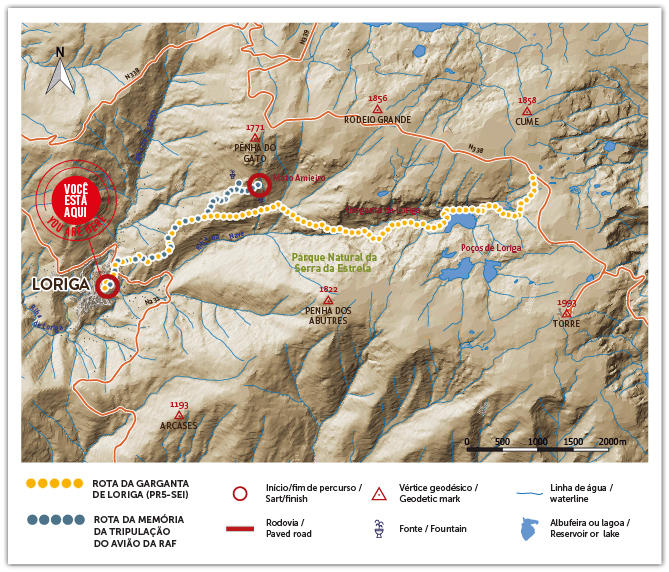
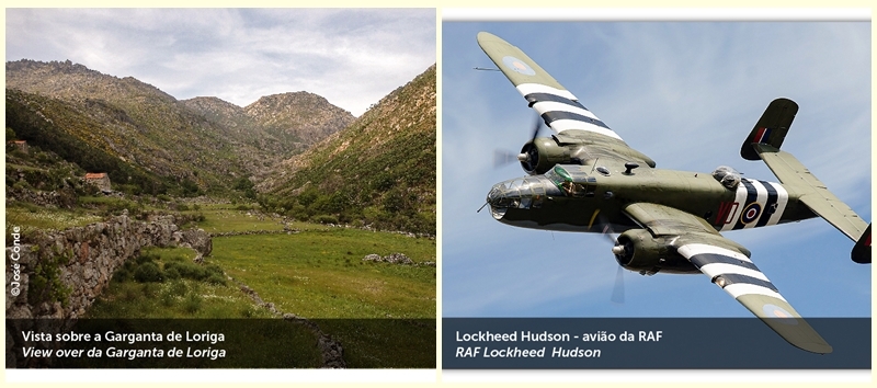
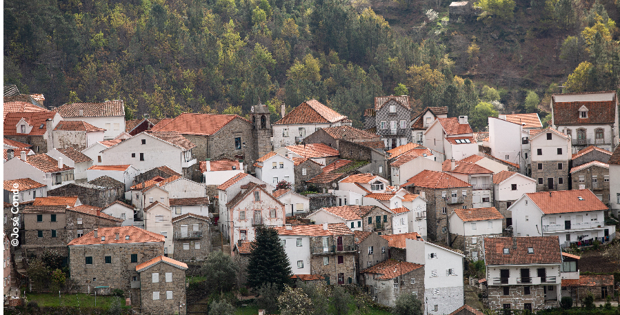
The RAF Airplane Memory Route runs along the southern slope of the Estrela mountain range, establishing the connection between the village of Loriga and Mato Amieiro, where, in 1944, a Royal British Air Force (RAF) plane crashed.
The creation of this route intends to pay homage to the crew victim of the tragic accident, being the result of a proposal of a group of Loriguenses, supported by the Municipality of Seia.
The route has a high degree of difficulty, crossing a rugged and rocky landscape, where pine forests and broom scrublands are dominant, confluent over an extension of 2,7 km with the Route of the Garganta de Loriga (PR5-SEI).
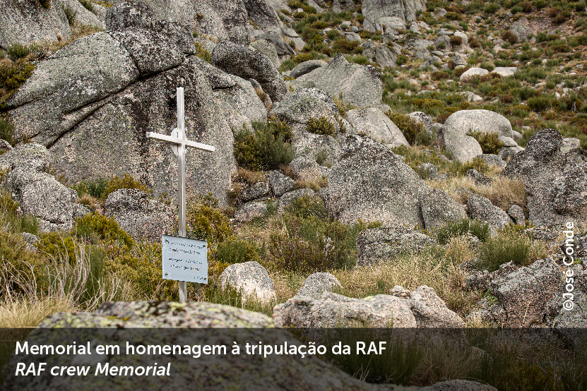
In Mato Amieiro, at the end of the itinerary, there is a cross, placed there at the initiative of the Irmandade das Almas and the Parish Council of Loriga, in May 2014. The place is located at more than 1600 meters of altitude , offering a wide 180 ° panorama, covering the Garganta de Loriga, Penha dos Abutres and the southern slope of the Serra da Estrela, and the mountains ranges of the Açores and Alvéolos
Route Technical Sheet
Type of route: linear
Starting point: Loriga (Largo da Carreira)
Finishing point: Mato Amieiro
Distance: 3.8 km (7.6 km/round trip)
Altitudes: min. 768 m/ max
Degree of difficulty: Difficult
Recommended season: April to November
Alert: Weather can change suddenly: check the weather forecast in advance and bring warm clothing, raincoat, and mountain boots.


© 2026 Junta de Freguesia de Loriga. Todos os direitos reservados | Termos e Condições
